Last week I participated in my first ever "hackathon."
A hackathon is an event where teams of programmers and nerds address a particular problem with a technological solution over a set time period. Often these are 24 hour or weekend spanning experiences that encourage sleep deprivation and poor diet choices. Ours however spanned the whole week since it was conducted virtually to accomodate the COVID age.
The Future of Forestry Hackathon focused on the forestry industry in New England and was partially sponsored by Do North Coworking where I sometimes hang out. I was part of a three-person team randomly put together as part of the hackathon. Getting to know each other and work well together in such a short time frame was one of the challenges of the hackathon, but we ended up working well together over Slack and email. We decided to tackle the first problem statement:
How can environmental and geospatial data be used to evaluate potential logging margins to ensure they are commensurate to the financial risk associated with harvesting wood? Reliable margins in logging can be challenging to come due to unforeseen environmental factors. In many cases, market value of the harvested wood doesn’t reflect the time and risk associated with the harvest for specific trees. Whether the most valuable trees are two miles in through dense forest requiring significant time and fuel or the tree is on steep slope making it very dangerous or challenging to harvest, the market pricing doesn’t reflect these factors, nor do loggers have the tools to do this evaluation.
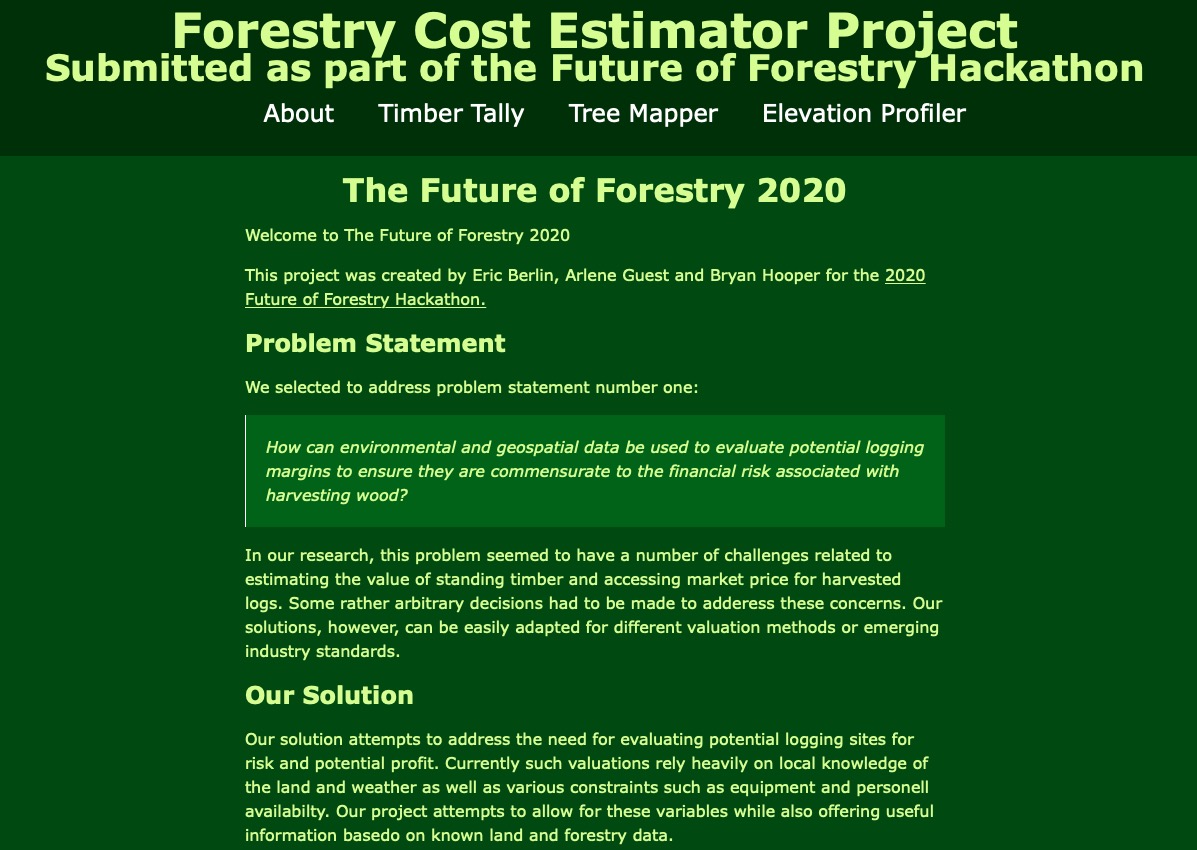
Our solution focused on providing a core set of tools for assisting in the process of valuing standing timber and risks associated with harvesting that timber. We used GIS data provided for us as part of the challenge to map a small farm and provide information related to the timber on that farm and how to navigate the terrain. We also created a calculator tool that allows for inputs from a harvester to calcuate the potential financial value of a paricular tree.
A number of problems arose as we worked on this project. I was surprised at how difficult it is to find regional pricing information for harvested timber. I assume these prices are confidential and that lumber mills who buy harvested wood don't really want to share their prices. It would be a neat project to find a way to report pricing information or to work with an industry group to encourage more pricing transperancy. I think more clarity about pricing would assist harvesters in evaluating the potential reward for their efforts and also find suitible buyers for thier produce.
It was a lot of fun for me to work on this project and I look forward to another hackathon in the future. For my contribution to the project, I configured a Linode server and installed the necessary software. I set up NodeJS and used ExpressJS to build out a webserver. I also created the Tiber Tally calculator feature. My partners did the heavy lifting on all the GIS stuff and the CSS/design pieces. There is currently a server up and running, but I won't be able to leave it up forever since it's cositng me a little money.
Since we are in the Northeast Kingdom of Vermont, not a lot of teams finished their projects. Despite quite a bit of initial interest, only three teams submitted final projects and one of those teams was not able to present because of internet problems. Nevertheless, I am proud to report that our project was selected the winner! Not bad for my first hackathon.
